Lesson 5: Land Use Regulations to Encourage Nonmotorized Travel
Lesson Outline
- General elements of zoning and subdivision regulation.
- Development standards for commercial areas.
- Development standards for residential areas.
- Elements of a form-based code.
General Elements of Zoning and Subdivision Regulation
- Subdivision layout.
- Cul-de-sacs.
- Future extension of streets.
- Staged implementation.
- Internal circulation.
Commercial Development Standards
- Building orientation and facades.
- Onsite circulation.
- Access between developments.
- Parking lots.
Building Orientation
| Source: PBIC (Dan Burden), www.pedbikeimages.org |
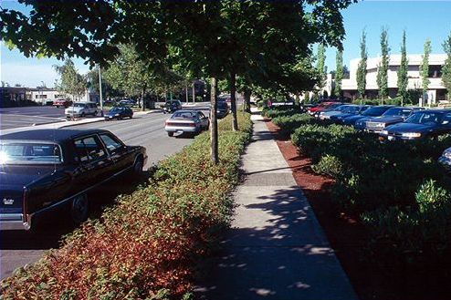
Onsite Circulation
| Source: PBIC (Dan Burden), www.pedbikeimages.org |
Development Connections

| Source: PBIC (Dan Burden), www.pedbikeimages.org |
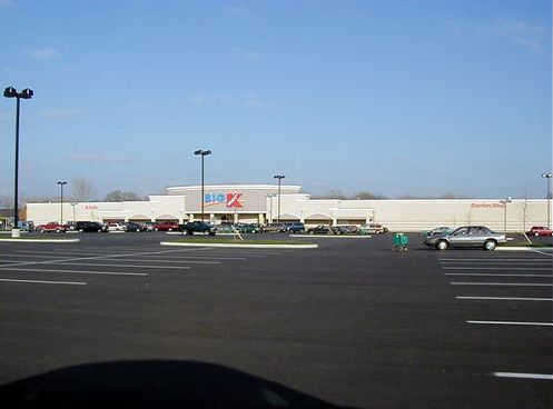
Suburban Parking Lot Design
Creative Parking Lot Design
| Source: PBIC (Dan Burden), www.pedbikeimages.org |
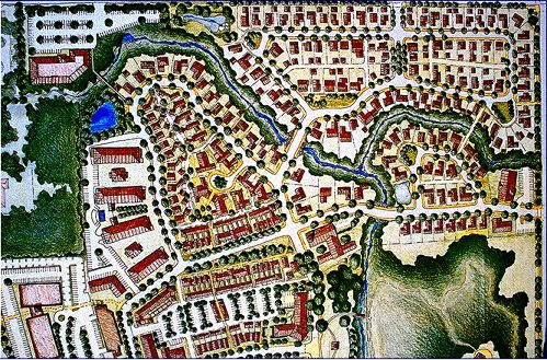
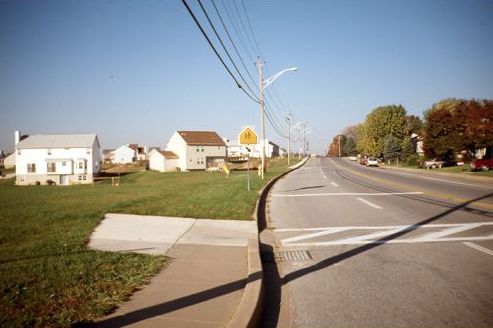
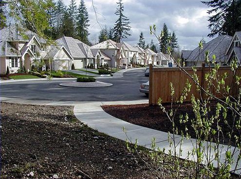
Residential Design Standards
- Connectivity.
- Short cuts for pedestrians and bicyclists.
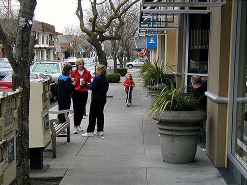
- Pedestrian- and bicycle-oriented streetscapes.
- Streets with low vehicle speeds (<32 km/h (<20 mi/h)).
Interconnectivity
| Source: PBIC (Dan Burden), www.pedbikeimages.org |
Missed Connections
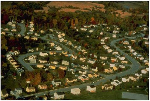
Cul-de-sacs
| Source: PBIC, www.pedbikeimages.org |
Trail Connections
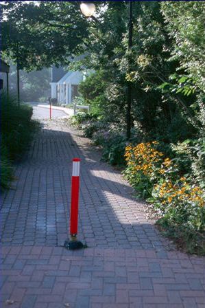
| Source: PBIC (Dan Burden), www.pedbikeimages.org |
Rear-Access Parking
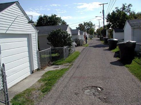
| Source: PBIC (Dan Burden), www.pedbikeimages.org |
Purpose of a Form-Based Code
- To establish a basic prescription for good public space along a street.
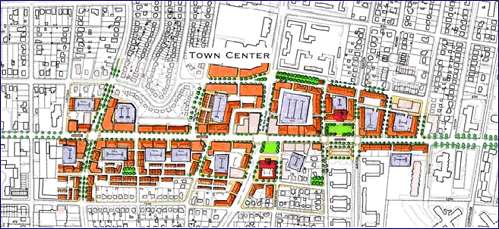
| Source: Arlington County Form Based Code |
Elements of a Form-Based Code
- Building placement (height, distance from street, width).
- Streetscape standards.
- Architectural standards.
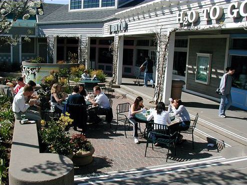
- Standards for other public spaces—civic greens, pedestrian walkways, etc.
Lesson Summary
- Zoning and planning regulations can be effective tools in encouraging pedestrian and bicycle travel.
- Developers play a key role in accommodating and encouraging nonmotorized travel.
- There are a variety of strategies for achieving good design in residential and commercial areas.
FHWA-HRT-05-094
|


