| Locations | Fresno, San Bernadino, and Stockton |
|
|---|---|---|
| Award Recipient | California Department of Transportation (CalTrans) | |
| Innovation | Geospatial Data Collaboration | |
| Award Fiscal Year | 2015 | |
| Project Aspect | Planning | |
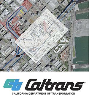
| Description | The California Department of Transportation (CalTrans) will initiatite the use of Plans on Demand to geo-reference and provide visualization of Right-of-Way (ROW) maps through an interactive geographic information system web service in three districts. CalTrans intends this project to serve as an incentive for taking advantage of existing technologies to streamline cost-effective methods to improve and share valuable ROW information for planning, operation, design, construction and utility efforts. | |
| Grant Award | $550,000 | |
| Project Contact | Paul D. Fredrickson California Department of Transportation Division of Rights of Way and Land Surveys Office of Land Surveys (916) 227-9440 paul.d.fredrickson@dot.ca.gov |
|


