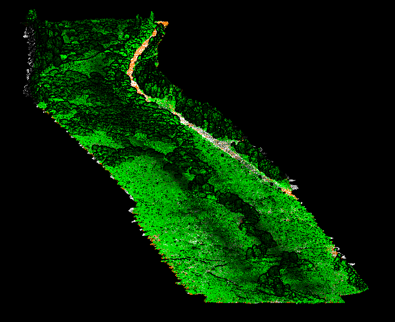
The Utah Department of Transportation (UDOT) uses UAS to collect environmental data. The UAS provide highly accurate, detailed imagery and dense point clouds for wetland mapping and delineation.