


UAS Improve Environmental Data Collection
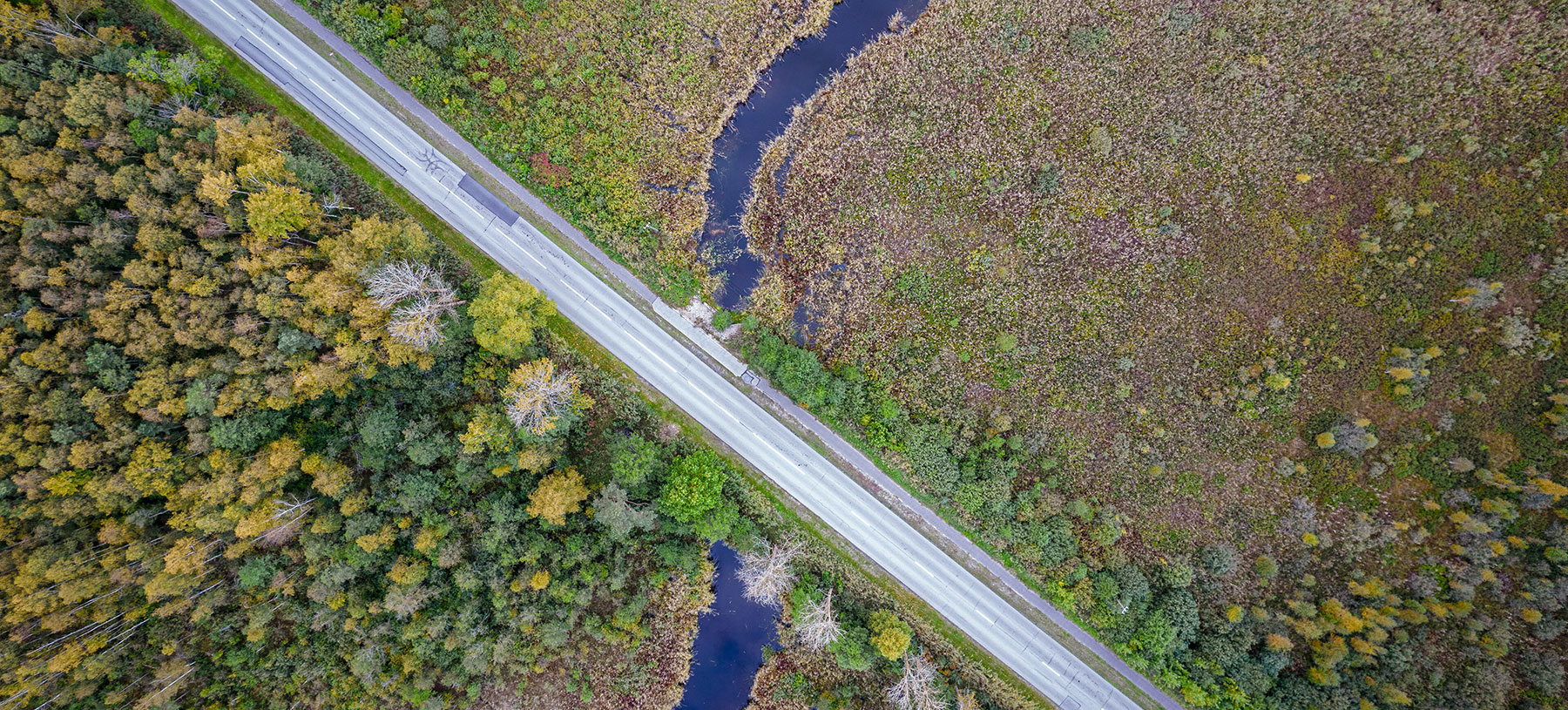
No longer do transportation agency staff have to spend days walking through difficult terrain to reach often expansive environmental areas such as wetlands. Unmanned aerial systems (UAS) are elevating perspectives on these areas while saving agencies’ critical resources.
State departments of transportation (DOTs) are reporting that the abundance and quality of data collected by UAS far exceed that of traditional methods.
Agencies Are Flying High With UAS
The North Carolina DOT (NCDOT) has used UAS on wetland modeling for a corridor development. They found that when UAS was paired with airborne LiDAR (light detection and ranging) sensors, the modeling data returned rapidly and with relative accuracy and certainty.
NCDOT used the modeling to delineate wetlands from 3 to 4 acres to nearly 100 acres in size. The larger sites would have required at least 10 people on foot. However, NCDOT Environmental Specialist Wesley Cartner says his team of four expedited the process considerably using UAS.
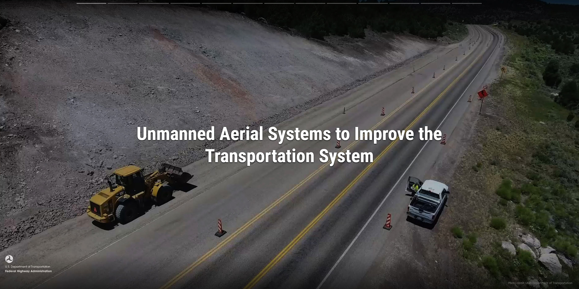
View this UAS storyboard to see how States such as North Carolina and Utah are using UAS to collect environmental data and perform inspections.
Credit: FHWA“We did it in an afternoon,” Cartner said. “We were able to acquire the data within a day and then post-process it within a day or two. We have the same type of results without the additional 2 to 3 weeks and without having to have people actually traverse the terrain.”
The Washington State DOT (WSDOT) used UAS for a post-construction wetland mitigation monitoring project. WSDOT replaced ground-based permanent photo points, locations from which photos are taken over time and compared to detect changes in the landscape, with UAS-based permanent photo points acquired by automated software. The photos collected for the monitoring project were then housed on a web-based network, allowing regulators to review them as needed.
WSDOT reports that using UAS allows its Environmental Services Office to capture much more useful imagery of sites than is possible with ground-based photography both for tracking site development and communicating results to regulators.
For the Water Quality Unit at the Vermont Agency of Transportation (VTrans), UAS allowed stakeholders to get a different view of the conditions at VTrans’ facilities. Agency staff used UAS imagery to identify and map out pervious and impervious surfaces. The data collected by UAS was processed into a stormwater pollution prevention plan.
“Originally, they were creating these plans on-site and with the use of Google imagery,” said VTrans UAS Program Manager Evan Robinson, noting that UAS-based imagery is up to 10 times more detailed than satellite-based imagery. “Now we get a crew to go out and fly one of these sites and generally within an hour we have taken pictures of the whole facility. Then we’re able to create our own high-resolution imagery.”
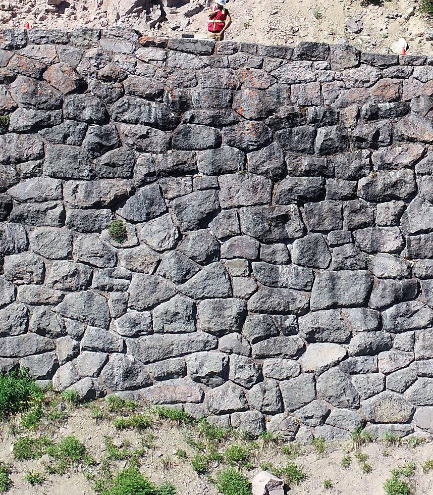
UAS expedited the inventory of 9,500 linear feet of historic rock walls in Crater Lake National Park, Oregon.
Credit: Western Federal Lands Highway DivisionWhen 9,500 linear feet of historic rock guard wall at Crater Lake National Park in Oregon had to be inventoried in 2020, the FHWA Western Federal Lands Highway Division (WFLHD) relied on UAS to document the boundaries of the stonework along East Rim Drive, a scenic highway on the lake’s rim. The report would help with rehabilitation and rockfall mitigation at one of the park’s most unique and beautiful historic features.
Choosing UAS over traditional methods, the agency avoided the human risk and costs involved with hanging a camera from a crane near the edge of the scenic overlook or hiring a helicopter to collect the images at a dangerously close proximity to the wall.
“UAS was really the clear winner in terms of efficiency, cost, and data quality,” said Zekial Rios, land services manager at WFLHD.
Rios referenced the inventory previously done on the park’s historic stone wall on West Rim Drive. It took about seven people to do the crane work and the entire summer.*
“With UAS, we did it with three people in about 3 weeks,” Rios said.
Also, using UAS significantly reduced the noise disturbance for visitors and wildlife compared with using a helicopter to capture the data.
“If you’re in one of the most scenic national parks in the country, and you’re feeling the wind and looking at this deep blue water but you’re hearing helicopters rolling overhead—that’s really going to ruin somebody’s experience,” Rios said.
All-in-all, UAS helped WFLHD get “the best look at the walls since they were constructed in the 1940s,” Rios said.
Safer, Quicker, Better
UAS are changing the game for transportation agencies, making their work quicker, safer, and more efficient.
“This is one of a hundred or a thousand applications highlighting the versatility of the tool and how it’s able to be used and applied across the board,” Robinson said. “It’s so helpful in increasing efficiency and in creating a safe work environment.”
*These flights were conducted under the Department of Interior UAS policy in place during 2019. Currently the use of UAS in the park remains limited to emergency operations.
—MORE INFORMATION
Contact James Gray of FHWA’s Office of Infrastructure.
Visit the FHWA UAS website.
Notice: The U.S. Government does not endorse products or manufacturers. Trademarks or manufacturers’ names appear in this article only because they are considered essential to the objective of the document.
Recommended Citation: U.S. Department of Transportation, Federal Highway Administration - Washington, DC (2022) Innovator Newsletter, May/June 2022, Volume 15 (90). https://doi.org/10.21949/1521808