U.S. Department of Transportation
Federal Highway Administration
1200 New Jersey Avenue, SE
Washington, DC 20590
202-366-4000


Skip to content
Facebook iconYouTube iconTwitter iconFlickr iconLinkedInInstagram

Federal Highway Administration Research and Technology
Coordinating, Developing, and Delivering Highway Transportation Innovations

Report
This report is an archived publication and may contain dated technical, contact, and link information
Publication Number: FHWA-HRT-05-137
Date: July 2006

Evaluation of Safety, Design, and Operation of Shared-Use Paths

Final Report

PDF Version (1172 KB)

PDF files can be viewed with the Acrobat® Reader®


APPENDIX C. SCREEN SHOTS FROM PERCEPTION STUDY VIDEO


Screen shot (single frame) from the Lake Johnson Trail used during the perception survey. The image is forward-looking at a shared-use path from the bicycle helmet camera.

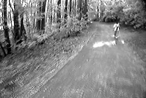
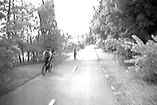
Figure 32. Photo. Lake Johnson Trail.


Screen shot (single frame) from the Sammamish River Trail used during the perception survey. The image is forward-looking at a shared-use path from the bicycle helmet camera.

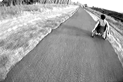
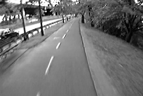
Figure 33. Sammamish River Trail.


Screen shot (single frame) from the Mill Valley-Sausalito Pathway used during the perception survey. The image is forward-looking at a shared-use path from the bicycle helmet camera.

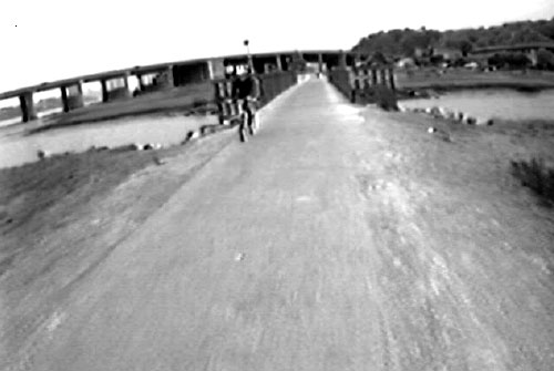
Figure 34. Photo. Mill Valley-Sausalito Pathway.


Screen shot (single frame) from the White Rock Lake Trail used during the perception survey. The image is forward-looking at a shared-use path from the bicycle helmet camera.

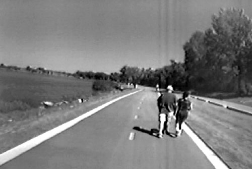
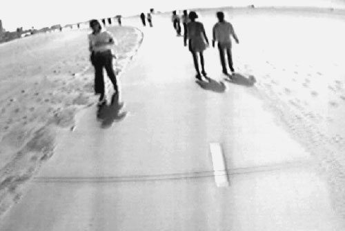
Figure 35 Photo. White Rock Lake Trail.


Screen shot (single frame) from the Lakefront Trail used during the perception survey. The image is forward-looking at a shared-use path from the bicycle helmet camera.

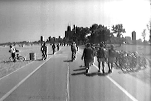
Figure 36. Photo. Lakefront Trail.


Screen shot (single frame) from the South Bay Trail used during the perception survey. The image is forward-looking at a shared-use path from the bicycle helmet camera.

Figure 37. Photo. South Bay Trail.


Screen shot (single frame) from the Forest Park Trail used during the perception survey. The image is forward-looking at a shared-use path from the bicycle helmet camera.

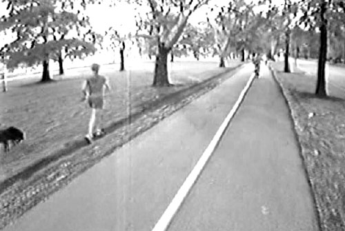
Figure 38. Photo. Forest Park Trail.


Screen shot (single frame) from the Honeymoon Island Trail used during the perception survey. The image is forward-looking at a shared-use path from the bicycle helmet camera.

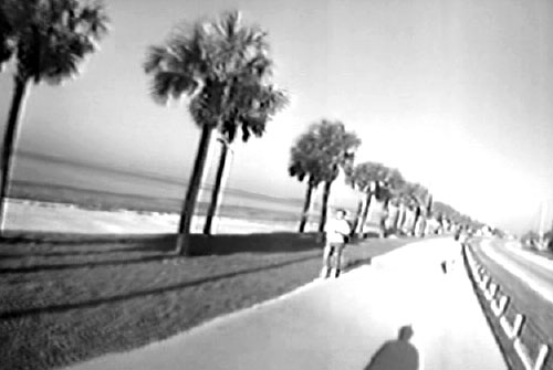
Figure 39. Photo. Honeymoon Island Trail.


Screen shot (single frame) from the Minuteman Bikeway used during the perception survey. The image is forward-looking at a shared-use path from the bicycle helmet camera.

Figure 40. Photo. Minuteman Bikeway.


Screen shot (single frame) from the Dr. Paul Dudley Bicycle Path used during the perception survey. The image is forward-looking at a shared-use path from the bicycle helmet camera.

Figure 41. Photo. Dr. Paul Dudley Bicycle Path.


FHWA-HRT-05-137

Previous | Table of Contents | Next

Federal Highway Administration | 1200 New Jersey Avenue, SE | Washington, DC 20590 | 202-366-4000
Turner-Fairbank Highway Research Center | 6300 Georgetown Pike | McLean, VA | 22101