U.S. Department of Transportation
Federal Highway Administration
1200 New Jersey Avenue, SE
Washington, DC 20590
202-366-4000
Indiana Division
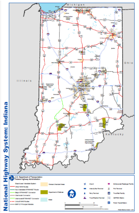
The National Highway System (NHS) includes the Interstate Highway System as well as other roads important to the nation's economy, defense, and mobility. The NHS was developed by the Department of Transportation (DOT) in cooperation with the states, local officials, and metropolitan planning organizations (MPOs).
Below is a map that shows the National Highway System in Indiana. Specific maps for some areas are listed below. These maps are in the PDF format. If you need Adobe Acrobat to read them, you can ![]() now.
now.
|
|
|||||||||||||||||
Maps of the National Highway System in other states.