 |
|
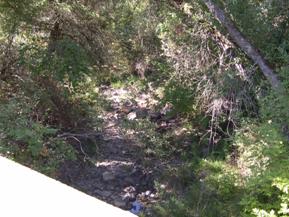
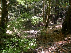
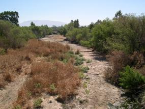
Figure 21. Dry Creek, Pacific Coastal-
upstream from bridge. |
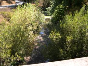
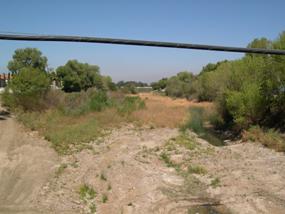
Figure 22. Dry Creek, Pacific Coastal-
downstream from bridge. |
|
|
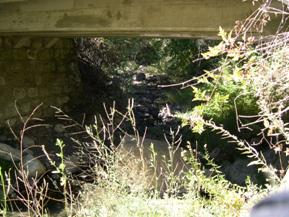
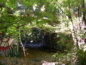
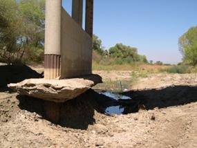
Figure 23. Dry Creek, Pacific Coastal-
upstream under bridge, photo 1. |
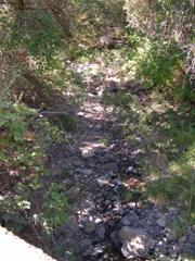
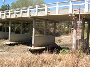
Figure 24. Dry Creek, Pacific Coastal-
upstream under bridge, photo 2. |
|
|
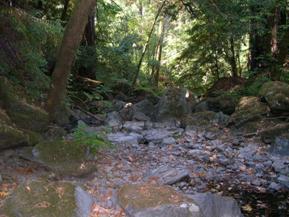
Figure 25. Dutch Bill Creek, Pacific Coastal-
upstream from under bridge. |
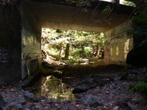
Figure 26. Dutch Bill Creek, Pacific Coastal-downstream at bridge. |
 |
|
Figure 27. Dutch Bill Creek, Pacific Coastal-
downstream from under bridge. |
Figure 28. Dutch Bill Creek, Pacific Coastal-
upstream through bridge. |
|
|
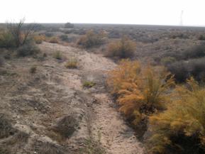
Figure 29. Buena Vista Creek, Pacific Coastal-
upstream from bridge. |
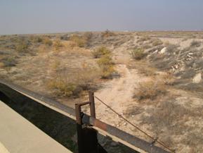
Figure 30. Buena Vista Creek, Pacific Coastal-
downstream from bridge. |
|
|
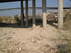
Figure 31. Buena Vista Creek, Pacific Coastal-
downstream under bridge. |
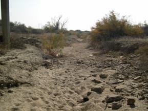
Figure 32. Buena Vista Creek, Pacific Coastal-
upstream from under bridge. |
|
|
Figure 33. Jacalitos Creek, Pacific Coastal-
downstream from bridge. |
Figure 34. Jacalitos Creek, Pacific Coastal-
upstream from bridge. |
|
|
Figure 35. Jacalitos Creek, Pacific Coastal-
looking downstream at bridge. |
Figure 36. Jacalitos Creek, Pacific Coastal-
downstream from under bridge. |
|
|
Figure 37. Murietta Creek, Pacific Coastal-
downstream from bridge. |
Figure 38. Murietta Creek, Pacific Coastal-
upstream from bridge. |
|
|
Figure 39. Murietta Creek, Pacific Coastal-
upstream toward bridge. |
Figure 40. Murietta Creek, Pacific Coastal-
looking upstream at bridge. |
|
|
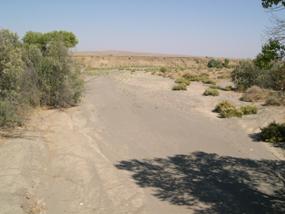
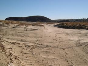
Figure 41. Mojave River, Basin and Range-
upstream from bridge, photo 1. |
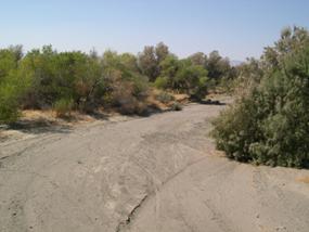
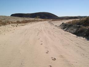
Figure 42. Mojave River, Basin and Range-
upstream from bridge, photo 2. |
|
|
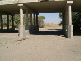
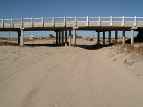
Figure 43. Mojave River, Basin and Range-
looking downstream at bridge. |
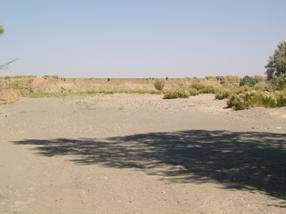
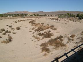
Figure 44. Mojave River, Basin and Range-
downstream from bridge. |
|
|
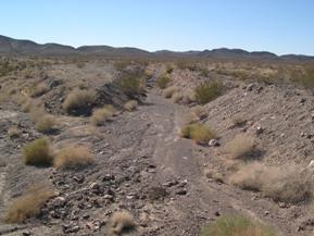
Figure 45. Rt. 66 Wash, Basin and Range-
upstream from bridge. |
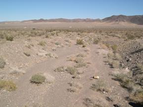
Figure 46. Rt. 66 Wash, Basin and Range-
downstream from bridge. |
|
|
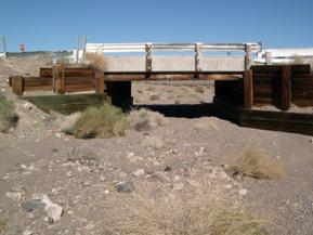
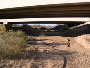
Figure 47. Rt. 66 Wash, Basin and Range-
looking downstream at bridge. |
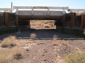
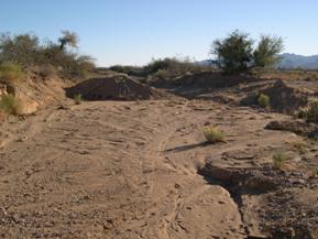
Figure 48. Rt. 66 Wash, Basin and Range-
looking upstream at bridge. |
|
|
Figure 49. Sacramento Wash, Basin and Range-
upstream under bridge. |
Figure 50. Sacramento Wash, Basin and Range-
downstream from bridge. |


