Assessing Stream Channel Stability At Bridges in Physiographic Regions
APPENDIX A, continued.
|
|
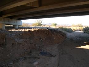
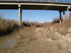
Figure 51. Sacramento Wash, Basin and Range-
downstream under bridge. |
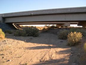
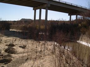
Figure 52. Sacramento Wash, Basin and Range-
looking downstream at bridge. |
|
|
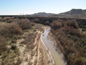
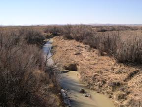
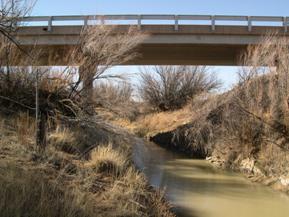
Figure 53. Rio Puerco, Trans Pecos-
downstream from bridge. |
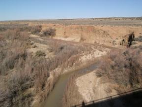
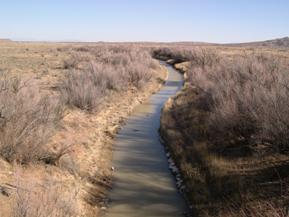
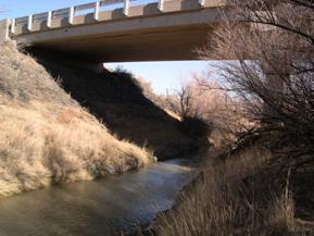
Figure 54. Rio Puerco, Trans Pecos-
upstream from bridge. |
|
|
Figure 55. Rio Puerco, Trans Pecos-
looking upstream at bridge. |
Figure 56. Rio Puerco, Trans Pecos-
looking downstream at bridge. |
|
|
Figure 57. Rio San Jose, Trans Pecos-
upstream from bridge. |
Figure 58. Rio San Jose, Trans Pecos-
downstream from bridge. |
|
|
Figure 59. Rio San Jose, Trans Pecos-
looking upstream at bridge. |
Figure 60. Rio San Jose, Trans Pecos-
looking downstream at bridge. |
|
|
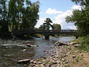
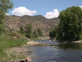
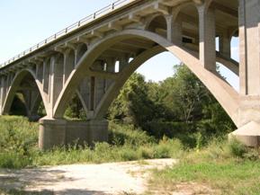
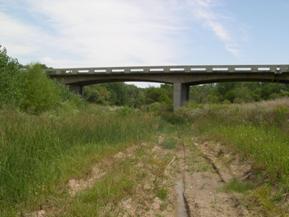
Figure 61. Arkansas River, Rocky Mountains-
looking downstream at bridge. |
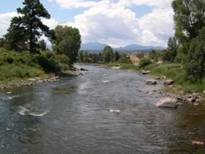
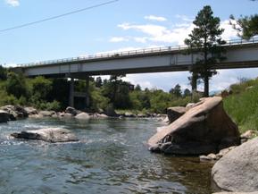
Figure 62. Arkansas River, Rocky Mountains-
upstream from bridge. |
|
|
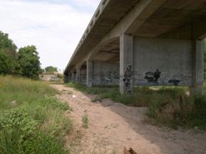
Figure 63. Arkansas River, Rocky Mountains-
downstream from bridge. |
Figure 64. Arkansas River, Rocky Mountains-
bridge #2 downstream from other bridge. |
|
|
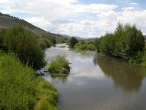
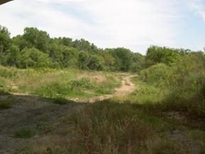
Figure 65. Cochetopa Creek, Rocky Mountains-
downstream from bridge. |
Figure 66. Cochetopa Creek, Rocky Mountains-
looking downstream at bridge. |
|
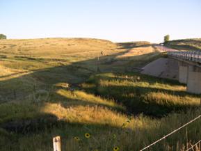 |
Figure 67. Cochetopa Creek, Rocky Mountains-
upstream from bridge. |
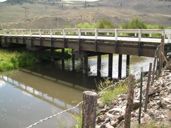
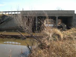
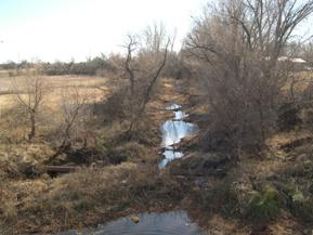
Figure 68. North Rush Creek, Great Plains-upstream of bridge. |
|
|
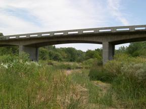
Figure 69. North Rush Creek, Great Plains-
upstream from bridge. |
Figure 70. North Rush Creek, Great Plains-
downstream from bridge. |
|
|
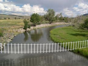
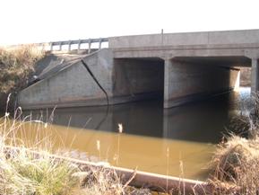
Figure 72. Saline River, Great Plains-
downstream from bridge. |
|
Figure 71. Saline River,Great Plains-upstream under bridge. |
Figure 73. Saline River, Great Plains-
looking downstream at bridge. |
|
|
Figure 74. South Fork Solomon River, Great Plains-
looking downstream at bridge, photo 1. |
Figure 75. South Fork Solomon River, Great Plains-
looking downstream at bridge, photo 2. |
|
|
Figure 76. South Fork Solomon River, Great Plains-
left bank. |
Figure 77. South Fork Solomon River, Great Plains-downstream. |
|
|
Figure 78. West Elk Creek, Central Plains-
looking downstream at bridge, photo 1. |
Figure 79. West Elk Creek, Central Plains-
looking downstream at bridge, photo 2. |

|
|
Figure 80. West Elk Creek, Central Plains-
upstream from bridge. |
Figure 81. West Elk Creek, Central Plains-
downstream from bridge. |
|
|
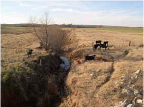
Figure 82. Beaver Creek, Central Plains-
upstream from bridge. |
Figure 83. Beaver Creek, Central Plains-
downstream from bridge. |
|
|
Figure 84. Beaver Creek, Central Plains-
facing upstream under bridge. |
Figure 85. Beaver Creek, Central Plains-
facing downstream under bridge. |
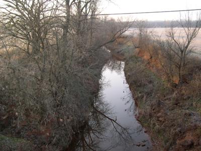
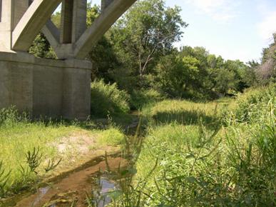
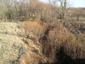
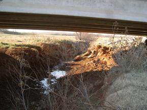
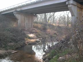
Figure 86. Brush Creek, Central Plains-upstream from bridge.
|
|
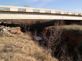
Figure 87. Brush Creek, Central Plains- downstream from bridge. |
|
|
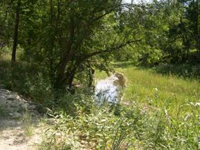
Figure 88. Brush Creek, Central Plains-
downstream under bridge. |
|
|
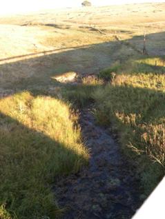
Figure 89. Unnamed creek (N 19), Central Plains-
downstream from bridge. |
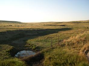
Figure 90. Unnamed creek (N 19), Central Plains-
upstream from bridge. |
|
|
Figure 91. Unnamed creek (N 19), Central Plains-
upstream under bridge. |
Figure 92. Unnamed creek (N 19), Central Plains-
downstream under bridge. |
|
|
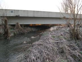
Figure 93. East Fork, Interior Low Plateau-
upstream from bridge. |
Figure 94. East Fork, Interior Low Plateau-
looking downstream at second bridge. |
|
|
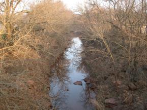
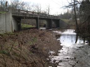
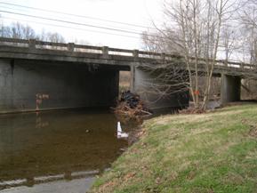
Figure 95. East Fork, Interior Low Plateau-
looking upstream at bridge. |
Figure 96. East Fork, Interior Low Plateau-
looking downstream at bridge. |
|
|
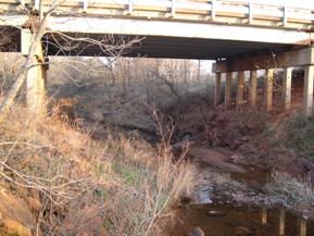
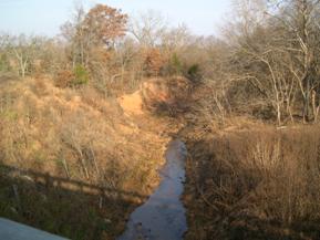
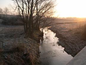
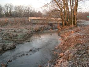
Figure 97. Honey Run, Interior Low Plateau-
upstream from bridge. |
Figure 98. Honey Run, Interior Low Plateau-
downstream from bridge. |
|
|
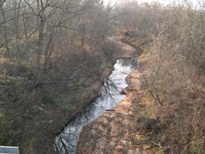
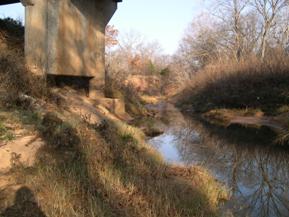
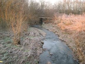
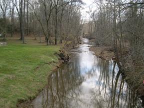
Figure 99. Honey Run, Interior Low Plateau-
looking upstream at bridge. |
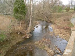
Figure 100. Honey Run, Interior Low Plateau-
looking downstream at bridge. |
Previous | Contents | Next
|


