|
|
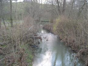
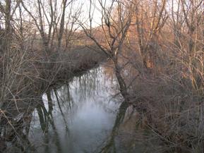
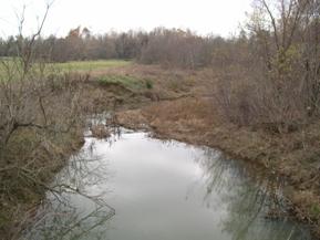
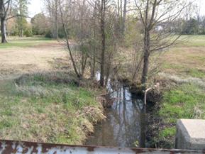
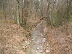
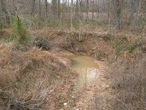
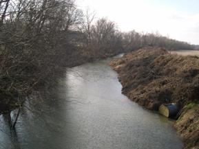
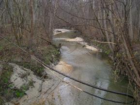
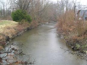
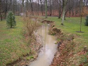
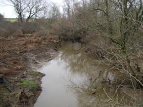
Figure 101. Unnamed creek (N 28), Interior Low Plateau-upstream from bridge. |
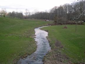
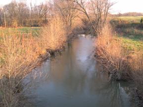
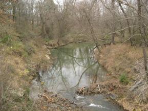
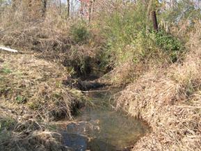
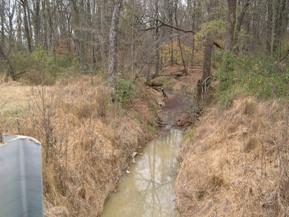
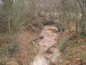
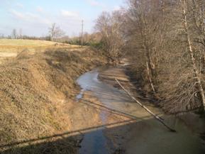
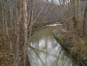
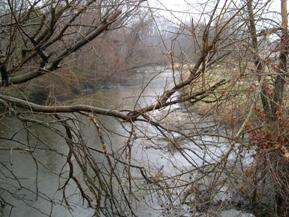
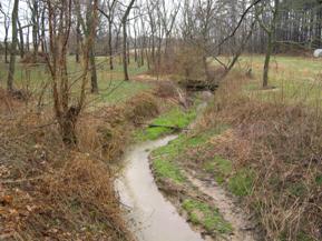
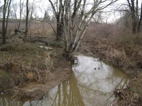
Figure 102. Unnamed creek (N 28), Interior Low Plateau-downstream from bridge. |
|
|
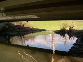
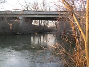
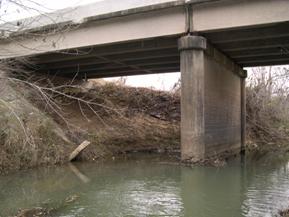
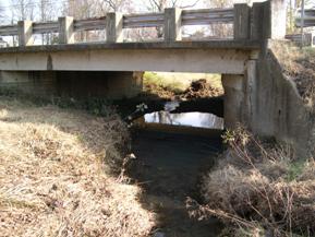
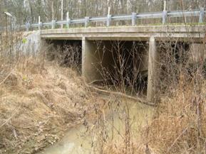
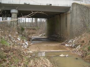
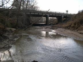
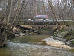
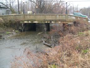
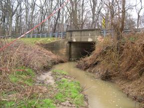
Figure 103. Unnamed creek (N 28), Interior Low Plateau-downstream under bridge. |
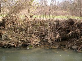
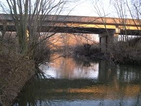
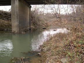
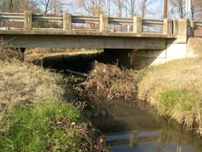
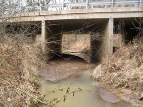
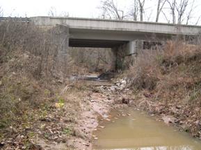
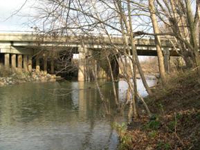
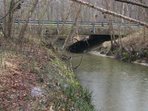
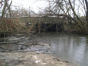
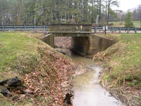
Figure 104. Unnamed creek (N 28), Interior Low Plateau-
rocky bank material. |
|
|
Figure 105. South Fork, Interior Low Plateau-
downstream from bridge. |
Figure 106. South Fork, Interior Low Plateau-
upstream from bridge. |
|
|
Figure 107. South Fork, Interior Low Plateau-
looking upstream at bridge. |
Figure 108. South Fork, Interior Low Plateau-
looking downstream at bridge. |
|
|
Figure 109. Little Skin Creek, Ozark-Ouachita Highlands-downstream from bridge. |
Figure 110. Little Skin Creek, Ozark-Ouachita Highlands-upstream from bridge. |
|
|
Figure 111. Little Skin Creek, Ozark-Ouachita Highlands-looking downstream at bridge (left). |
Figure 112. Little Skin Creek, Ozark-Ouachita Highlands-looking downstream at bridge (right). |
|
|
Figure 113. Unnamed creek (N 21), Ozark-Ouachita Highlands-downstream from bridge. |
Figure 114. Unnamed creek (N 21), Ozark-Ouachita Highlands-upstream from bridge. |
|
|
Figure 115. Unnamed creek (N 21), Ozark-Ouachita Highlands-looking downstream at bridge. |
Figure 116. Unnamed creek (N 21), Ozark-Ouachita Highlands-looking upstream at bridge. |
|
|
Figure 117. Little Cypress Creek, Atlantic Coastal Plain-downstream from bridge. |
Figure 118. Little Cypress Creek, Atlantic Coastal Plain-upstream from bridge. |
|
|
Figure 119. Little Cypress Creek, Atlantic Coastal Plain-
looking downstream at bridge. |
Figure 120. Little Cypress Creek, Atlantic Coastal Plain-
looking upstream at bridge. |
|
|
Figure 121. Unnamed creek (N 23), Atlantic Coastal Plain-downstream from bridge. |
Figure 122. Unnamed creek (N 23), Atlantic Coastal Plain-upstream from bridge. |
|
|
Figure 123. Unnamed creek (N 23), Atlantic Coastal Plain-looking downstream at bridge. |
Figure 124. Unnamed creek (N 23), Atlantic Coastal Plain-looking upstream at bridge. |
|
|
Figure 125. Unnamed creek (N 24), Atlantic Coastal Plain-upstream from bridge. |
Figure 126. Unnamed creek (N 24), Atlantic Coastal Plain-downstream from bridge. |
|
|
Figure 127. Unnamed creek (N 24), Atlantic Coastal Plain-looking upstream at bridge. |
Figure 128. Unnamed creek (N 24), Atlantic Coastal Plain-looking downstream at bridge. |
|
|
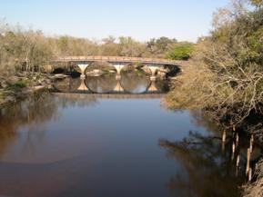
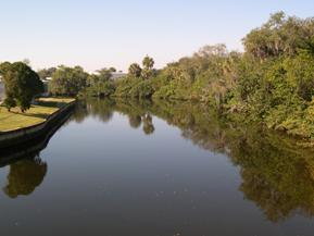
Figure 129. Peace River, Atlantic Coastal Plain-
upstream from bridge at old pedestrian bridge. |
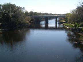
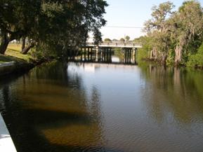
Figure 130. Peace River, Atlantic Coastal Plain-
looking downstream at bridge. |
|
|
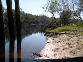
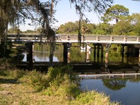
Figure 131. Peace River, Atlantic Coastal Plain-
downstream under bridge, right bank. |
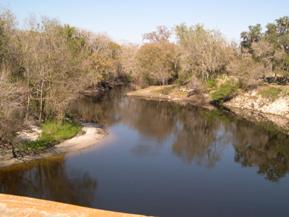
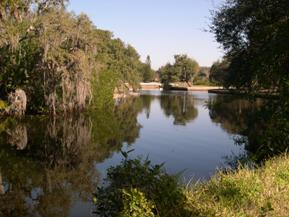
Figure 132. Peace River, Atlantic Coastal Plain-
upstream from old pedestrian bridge. |
|
|
Figure 133. Alligator Creek, Atlantic Coastal Plain-
downstream from bridge. |
Figure 134. Alligator Creek, Atlantic Coastal Plain-
looking downstream at bridge. |
|
|
Figure 135. Alligator Creek, Atlantic Coastal Plain-
looking upstream at bridge. |
Figure 136. Alligator Creek, Atlantic Coastal Plain-
upstream from bridge. |
|
|
Figure 137. Stocketts Run, Atlantic Coastal Plain-
upstream from bridge. |
Figure 138. Stocketts Run, Atlantic Coastal Plain-
downstream from bridge. |
|
|
Figure 139. Stocketts Run, Atlantic Coastal Plain-
looking downstream at bridge. |
Figure 140. Stocketts Run, Atlantic Coastal Plain-
looking upstream at bridge. |
|
|
Figure 141. Mill Stream Branch, Atlantic Coastal Plain-upstream from bridge |
Figure 142. Mill Stream Branch, Atlantic Coastal Plain-downstream from bridge. |
|
|
Figure 143. Mill Stream Branch, Atlantic Coastal Plain- looking downstream at bridge. |
Figure 144. Mill Stream Branch, Atlantic Coastal Plain- looking upstream at bridge. |
|
|
Figure 145. Kent County Tributary, Atlantic Coastal Plain-downstream from bridge. |
Figure 146. Kent County Tributary, Atlantic Coastal Plain-upstream from bridge. |
|
|
Figure 147. Kent County Tributary, Atlantic Coastal Plain-looking downstream at bridge. |
Figure 148. Kent County Tributary, Atlantic Coastal Plain-looking upstream at
bridge. |
|
|
Figure 149. Morgan Creek, Atlantic Coastal Plain-
upstream from bridge. |
Figure 150. Morgan Creek, Atlantic Coastal Plain-
downstream from bridge. |


