|
|
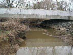
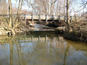
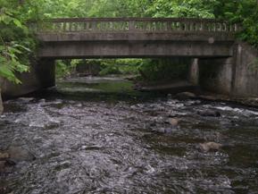
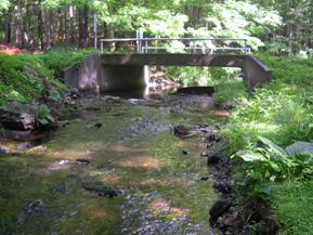
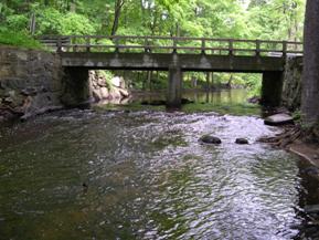
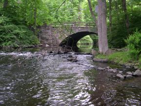
Figure 151. Morgan Creek, Atlantic Coastal Plain-
looking upstream at bridge. |
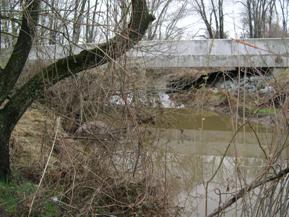
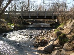
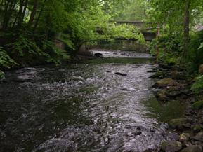
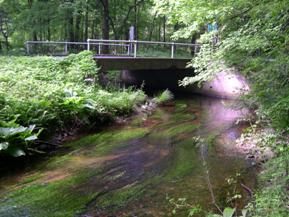
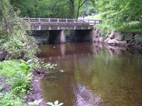
Figure 152. Morgan Creek, Atlantic Coastal Plain-
looking downstream at bridge. |
|
|
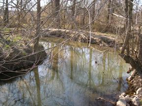
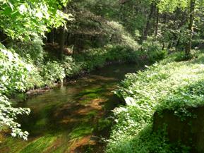
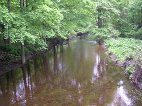
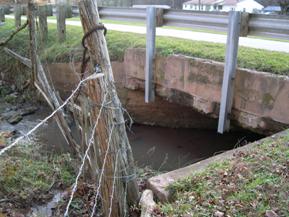
Figure 153. Hammond Branch, Atlantic Coastal Plain-
upstream from bridge. |
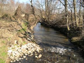
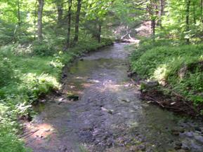
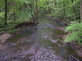
Figure 154. Hammond Branch, Atlantic Coastal Plain-downstream from bridge. |
|
|
Figure 155. Hammond Branch, Atlantic Coastal Plain-
looking downstream at bridge. |
Figure 156. Hammond Branch, Atlantic Coastal Plain-
looking upstream at bridge. |
|
|
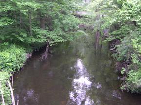
Figure 157. Pootatuck River, New England-
downstream from bridge. |
Figure 158. Pootatuck River, New England-
upstream from bridge. |
|
|
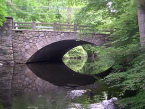
Figure 159. Pootatuck River, New England-
looking downstream at bridge. |
Figure 160. Pootatuck River, New England-
looking upstream at bridge. |
|
|
Figure 161. Mill River, New England-
upstream from bridge. |
Figure 162. Mill River, New England-
downstream from bridge. |
|
|
Figure 163. Mill River, New England-
looking upstream at bridge. |
Figure 164. Mill River, New England-
looking downstream at bridge. |
|
|
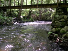
Figure 165. Aspetuck River, New England-
upstream from bridge. |
Figure 166. Aspetuck River, New England-
downstream from bridge. |
|
|
Figure 167. River, New England-
looking upstream at bridge. |
Figure 168. Aspetuck River, New England-
looking downstream at bridge. |
|
|
Figure 169. West Branch Saugatuck River, New England-downstream from bridge. |
Figure 170. West Branch Saugatuck River, New England-upstream from bridge. |
|
|
Figure 171. West Branch Saugatuck River, New England-looking downstream at bridge (bridge in foreground
is the pedestrian bridge). |
Figure 172. West Branch Saugatuck River, New England-looking upstream at bridge. |
|

|
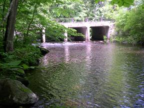
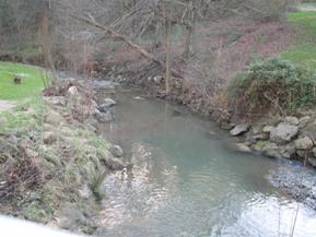
Figure 173. Mianus River, New England-
upstream from bridge. |
Figure 174. Mianus River, New England-
downstream from bridge. Note weir. |
|
|
Figure 175. Mianus River, New England-
looking downstream at bridge. |
Figure 176. Mianus River, New England-
looking upstream at bridge. |
|
|
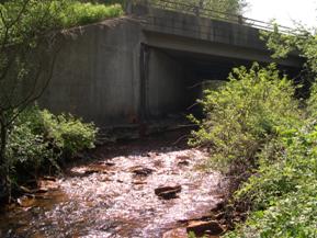
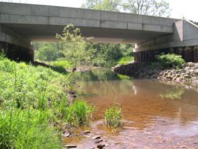
Figure 177. McKnown Creek, Appalachian Plateau-
upstream from bridge. |
Figure 178. McKnown Creek, Appalachian Plateau-
downstream from bridge. |
|
|
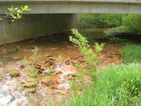
Figure 179. McKnown Creek, Appalachian Plateau-
looking downstream at bridge. |
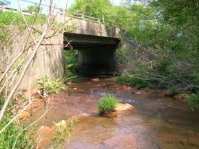
Figure 180. McKnown Creek, Appalachian Plateau-
looking upstream at bridge. |
|
|
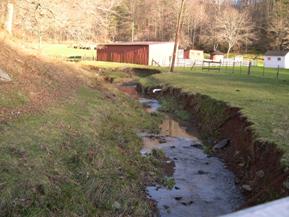
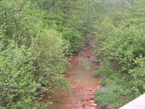
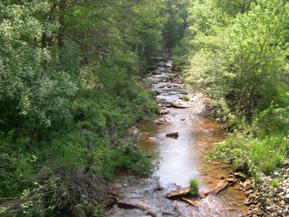
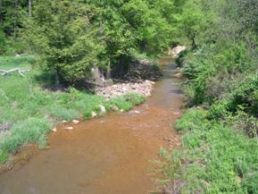
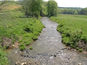
Figure 181. Wolf Run, Appalachian Plateau-
upstream from bridge. |
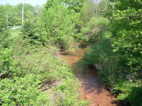
Figure 182. Wolf Run, Appalachian Plateau-
downstream from bridge. |
|
|
Figure 183. Wolf Run, Appalachian Plateau-
looking upstream at bridge. |
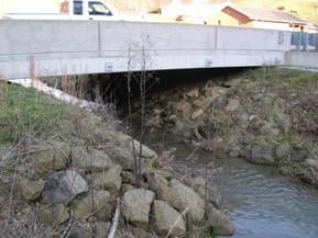
Figure 184. Wolf Run, Appalachian Plateau-
upstream face of bridge. |
|
|
Figure 185. Unnamed creek (N 48), Appalachian Plateau-upstream from bridge. |
Figure 186. Unnamed creek (N 48), Appalachian Plateau-downstream from bridge. |
|
|
Figure 187. Unnamed creek (N 48), Appalachian Plateau-looking downstream at bridge. |
Figure 188. Unnamed creek (N 48), Appalachian Plateau-looking upstream through bridge. |
|
|
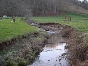
Figure 189. Reids Run, Appalachian Plateau-
upstream from bridge. |
Figure 190. Reids Run, Appalachian Plateau-
downstream from bridge. |
|
|
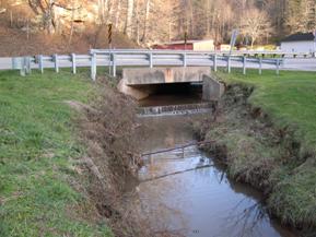
Figure 191. Reids Run, Appalachian Plateau-
looking downstream at bridge. |
Figure 192. Reids Run, Appalachian Plateau-
looking upstream at bridge. |
|
|
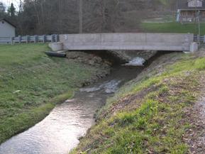
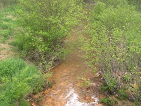
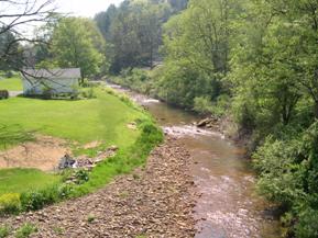
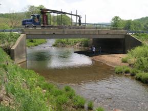
Figure 193. Piney Creek, Appalachian Plateau-
downstream from bridge. |
Figure 194. Piney Creek, Appalachian Plateau-
upstream from bridge. |
|
|
Figure 195. Piney Creek, Appalachian Plateau-
looking downstream at bridge. |
Figure 196. Piney Creek, Appalachian Plateau-
looking upstream at bridge. |
|
|
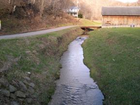
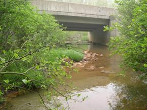
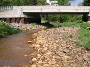
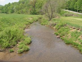
Figure 197. Sandy Creek, Appalachian Plateau-
upstream from bridge. |
Figure 198. Sandy Creek, Appalachian Plateau-
downstream from bridge. |

|
|
Figure 199. Sandy Creek, Appalachian Plateau-
looking downstream at bridge. |
Figure 200. Sandy Creek, Appalachian Plateau-
looking upstream at bridge. |


