|
|
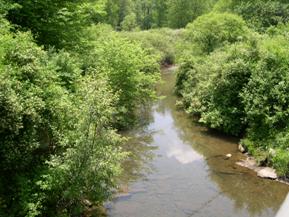
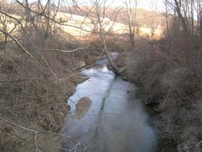
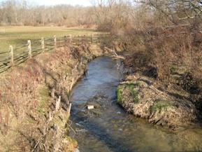
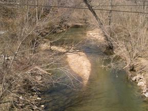
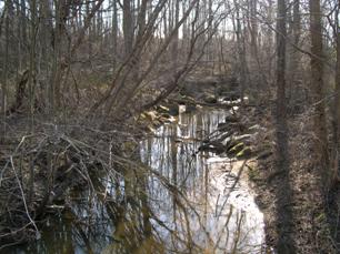
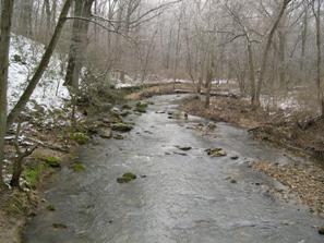
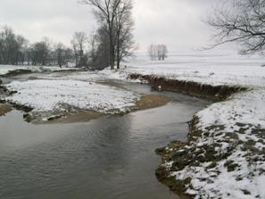
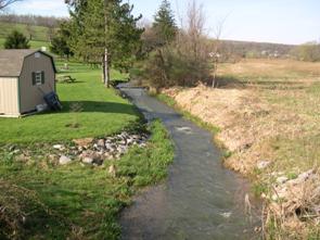
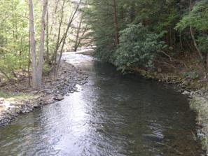
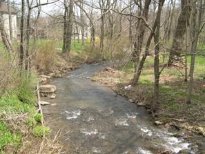
Figure 201. Trout Run, Appalachian Plateau-
upstream from bridge. |
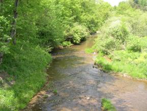
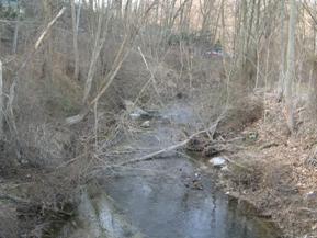
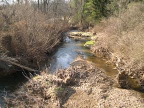
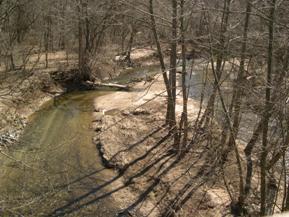
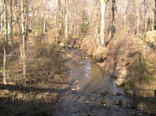
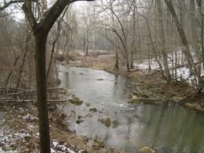
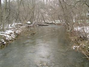
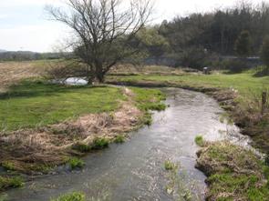
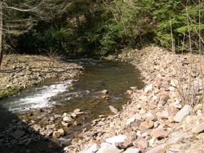
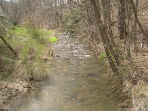
Figure 202. Trout Run, Appalachian Plateau-
downstream from bridge. |
|
|
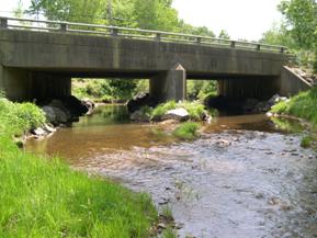
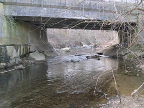
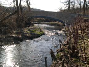
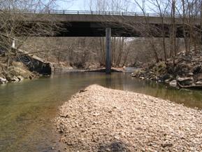
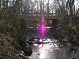
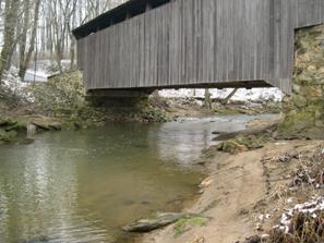
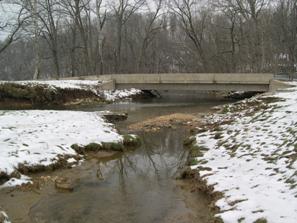
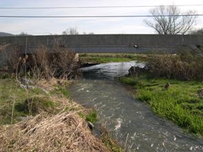
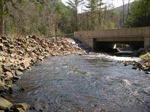
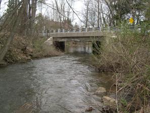
Figure 203. Trout Run, Appalachian Plateau-
looking upstream at bridge. |
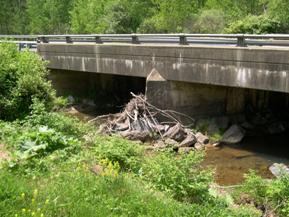
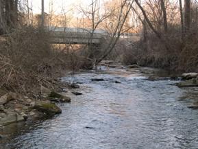
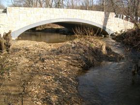
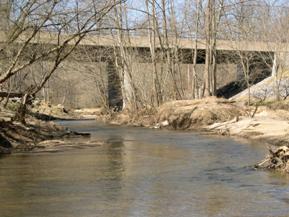
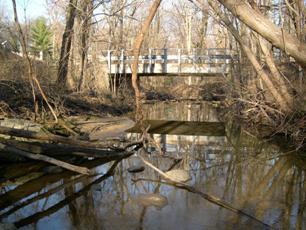
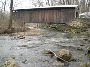
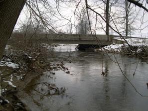
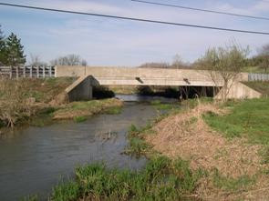
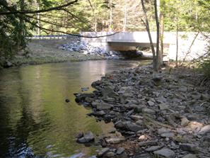
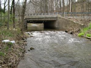
Figure 204. Trout Run, Appalachian Plateau-
upstream face of bridge. |
|
|
Figure 205. Blackrock Run, Piedmont-
upstream from bridge. |
Figure 206. Blackrock Run, Piedmont-
downstream from bridge. |
|
|
Figure 207. Blackrock Run, Piedmont-
looking downstream at bridge. |
Figure 208. Blackrock Run, Piedmont-
looking upstream at bridge. |
|
|
Figure 209. Indian Run, Piedmont-
upstream from bridge. |
Figure 210. Indian Run, Piedmont-
downstream from bridge. |
|
|
Figure 211. Indian Run, Piedmont-
looking downstream at bridge. |
Figure 212. Indian Run, Piedmont-
looking upstream at bridge. |
|
|
Figure 213. Middle Patuxent River, Piedmont-
upstream from bridge. |
Figure 214. Middle Patuxent River, Piedmont-
downstream from bridge. |
|
|
Figure 215. Middle Patuxent River, Piedmont-
looking downstream at bridge. |
Figure 216. Middle Patuxent River, Piedmont-
looking upstream at bridge. |
|
|
Figure 217. Atherton Tributary, Piedmont-
upstream from bridge. |
Figure 218. Atherton Tributary, Piedmont-
downstream from bridge. |
|
|
Figure 219. Atherton Tributary, Piedmont-
looking upstream at bridge. |
Figure 220. Atherton Tributary, Piedmont-
looking downstream at bridge. |
|
|
Figure 221. Little Elk Creek, Piedmont-
upstream from bridge. |
Figure 222. Little Elk Creek, Piedmont-
downstream from bridge. |
|
|
Figure 223. Little Elk Creek, Piedmont-
looking upstream at bridge. |
Figure 224. Little Elk Creek, Piedmont-
looking downstream at bridge. |
|
|
Figure 225. Big Beaver Creek, Piedmont-
upstream from bridge. |
Figure 226. Big Beaver Creek, Piedmont-
downstream from bridge. |
|
|
Figure 227. Big Beaver Creek, Piedmont-
looking downstream at bridge. |
Figure 228. Big Beaver Creek, Piedmont-
looking upstream at bridge. |
|
|
Figure 229. Buffalo Run, Valley and Ridge-
upstream from bridge. |
Figure 230. Buffalo Run, Valley and Ridge-
downstream from bridge. |
|
|
Figure 231. Buffalo Run, Valley and Ridge-
looking downstream at bridge. |
Figure 232. Buffalo Run, Valley and Ridge-
looking upstream at bridge. |
|
|
Figure 233. Roaring Run, Valley and Ridge-
downstream from bridge. |
Figure 234. Roaring Run, Valley and Ridge-
upstream from bridge. |
|
|
Figure 235. Roaring Run, Valley and Ridge-
looking downstream at bridge. |
Figure 236. Roaring Run, Valley and Ridge-
looking upstream at bridge. |
|
|
Figure 237. Potter Run, Valley and Ridge-
downstream from bridge. |
Figure 238. Potter Run, Valley and Ridge-
upstream from bridge. |
|
|
Figure 239. Potter Run, Valley and Ridge-
looking downstream at bridge. |
Figure 240. Potter Run, Valley and Ridge-
looking upstream at bridge. |


