
Public Involvement Communication Tools for a
21st Century Audience
Effective public engagement during transportation planning and project development can boost collaboration and accelerate project delivery. Adding virtual public involvement techniques extends the reach of engagement strategies by making stakeholder participation more convenient, affordable, and even enjoyable.
“As transportation professionals, we can no longer expect the public to come to us,” said Scott Allen, Federal Highway Administration transportation specialist and co-leader of the Every Day Counts round five (EDC-5) team on virtual public involvement. “We need to reach people in their everyday lives, whether online, at home, or in a chosen gathering space.”
In EDC-5, agencies are learning how to supplement face-to-face information sharing with virtual tools, such as mobile applications, project visualizations, and virtual town halls. “These innovative approaches are not intended to replace traditional public involvement, but to enhance existing strategies and broaden our reach to ensure that all voices are heard,” said Allen.
The team is working with State transportation departments, metropolitan planning organizations, and local agencies to plan workshops and peer exchanges to share best practices. This summer, the team will kick off an “Expanding Our Impact” series of videos and factsheets on virtual public involvement tools and strategies, following its 2019 “Extending Our Reach” series.
With the team’s assistance, 23 States are demonstrating and assessing virtual strategies to engage the public. Eight States institutionalized virtual public involvement techniques and use them regularly for planning and project development, including Colorado, Florida, Iowa, North Carolina, Ohio, Texas, Vermont, and Washington.
Reaching Stakeholders Virtually
The Colorado Department of Transportation (CDOT) hosted telephone town halls to gather input for its statewide long-range transportation plan update. CDOT held 15 telephone town halls—10 in rural transportation planning areas and five in metropolitan areas—to hear about each area’s needs and priorities.
Moderators asked questions such as “how should CDOT invest limited funding?” to address issues such as safety, maintenance, and operation of existing facilities; freight movement; bus service; and active transportation options. Participants were able to ask the moderators questions, make comments, and participate in live polls using touch-tone phones.
The results informed priorities for the plan and provided feedback for other CDOT planning documents, including transit, bicycle/pedestrian, and safety plans. CDOT continues to use this method to report on progress in implementing the plan. Nearly 58,000 people participated in the sessions, including more than 17,000 in rural regions.
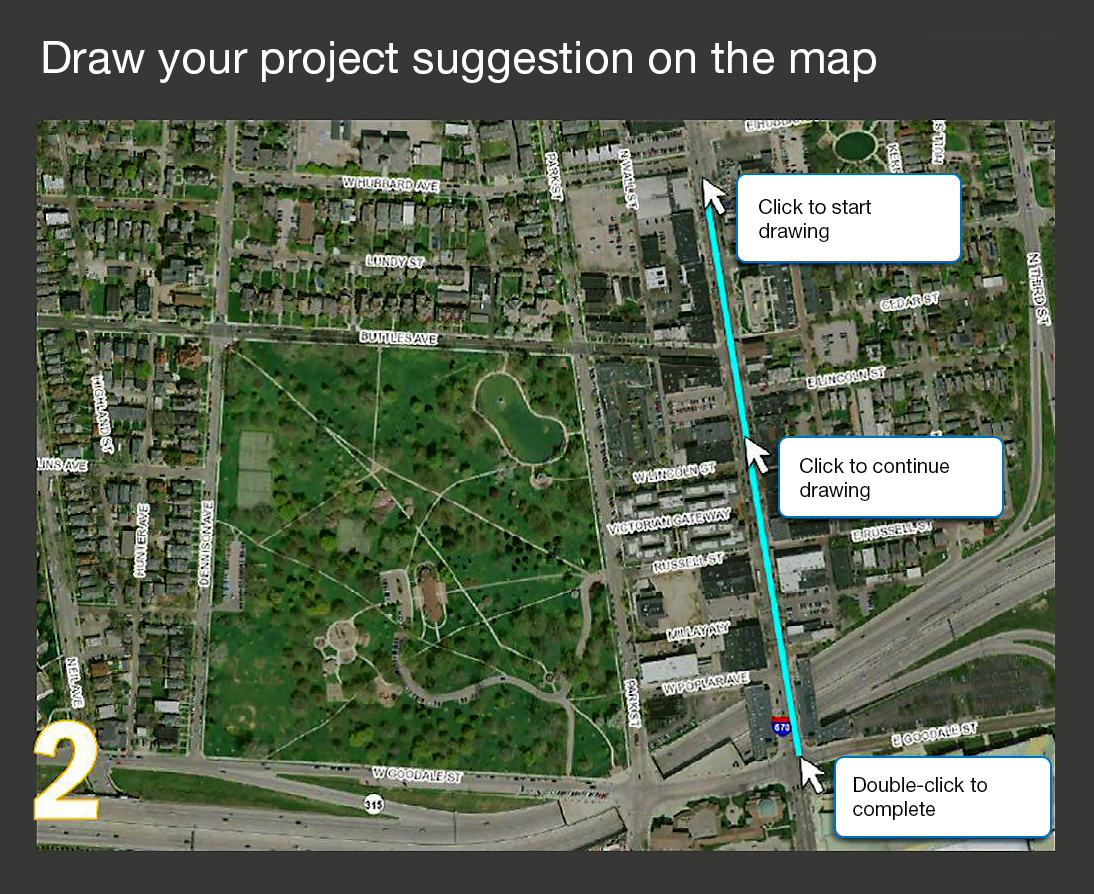 The Mid-Ohio Regional Planning Commission encouraged the public to offer project ideas by drawing on its interactive map. Photo Credit: Mid-Ohio Regional Planning Commission
The Mid-Ohio Regional Planning Commission (MORPC) developed an interactive map for its metropolitan transportation plan. When MORPC asked people to draw project ideas on the map, it received more than 300 suggestions. After screening to ensure each was suitable for consideration in the planning process, MORPC displayed the suggestions for comment, along with other candidate projects identified in State and local planning processes. More than 700 people added comments, which were visible to everyone who viewed the map.
MORPC publicized the map through social media, emails, and meetings, encouraging people to share the link with others. “We received more than 10 times the number of comments and interactions than we did using traditional methods,” said Maria Schaper of MORPC. “This interactive map has become a key tool for telling the transportation story in central Ohio.”
Eight Ways to Engage
Mobile applications allow users to get information or submit their own text and images. An app can serve as a digital clearinghouse for project planning and development, public involvement opportunities, and contact information.
Project visualization techniques include photo simulations, three-dimensional images, videos, aerial footage, and augmented reality, providing a mockup of what a proposed project would look like.
Do-it-yourself videos shot with tablets, smartphones, and digital cameras are an affordable and accessible way to reach stakeholders with content about plans, projects, and events.
Digital crowdsourcing tools gather suggestions and provide a forum for others to weigh in on ideas. They enable stakeholders to engage in the early stages of a project in a quick, easy way.
Virtual town halls offer a way to take part in transportation planning without traveling to a meeting location. Participants can join the meeting via teleconference or online meeting software.
Mapping tools communicate information in a visual format. Their interactive capabilities allow users to search, click, and query their way across a project site, neighborhood, or region to gather details not easily accessible in other formats.
All-in-one tools combine crowdsourcing features, mapping, visualization, file sharing, and survey instruments, offering a one-stop-shop for information on a topic.
Digital tools to enhance in-person events include live polling via mobile devices, collecting and sharing ideas with tablets, and using social media to stream public meetings in real time.