Lesson 7: Adapting Suburban Communities for Bicycle and Pedestrian Travel
Lesson Outline
- Historical development of urban and suburban land use.
- Costs of sprawl.
- Retrofitting suburban roads to accommodate bicycles and pedestrians.
- Safe Routes to School planning.
- Retrofitting commercial/office developments.
Suburban Development
- Streetcar suburbs.
- Leapfrogging.
- Auto orientation.
- Infilling.
- Street hierarchy.
Present Land Use Forms
- Individual tract subdivisions.
- Linear arterial streets.
- Bypassed vacant land.
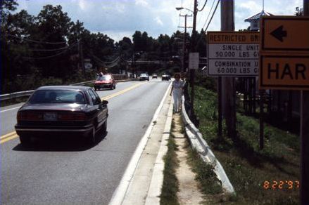
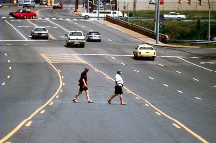
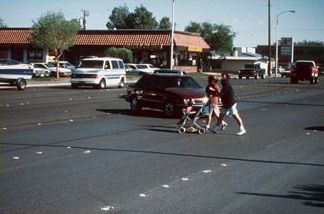
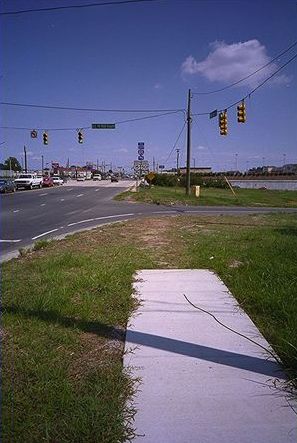
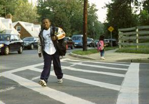
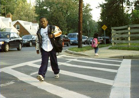
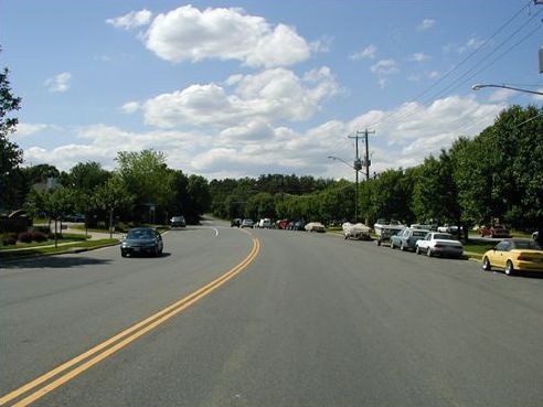
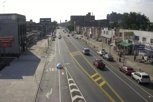
Suburban Street Scenes
Costs of Sprawl
- Infrastructure: streets, utilities, parks and schools.
- Environment.
- Health and physical activity.
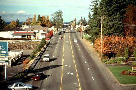
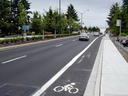
Retrofitting Suburban Arterials
- Independent retrofit projects.
- Evaluation of road widening projects.
- Road diets.
- Form-based codes.
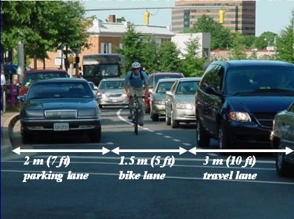
Restriping to Create Bike Lanes
Road Retrofit—Before
Road Retrofit—After
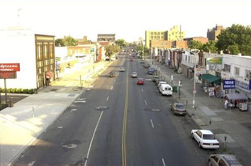
Road Diet—Before
Road Diet—After
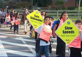
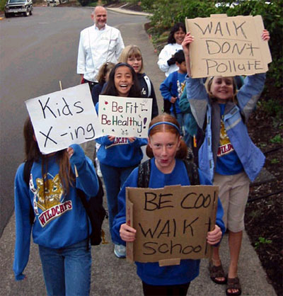
Safe Routes to Schools (SR2S)
Health Issues
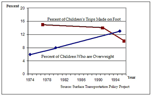
35% of youth do not participate in regular physical activity.
Origins of the SR2S Concept
- Denmark – early 1980s.
| – | Worst child pedestrian crash rates in Europe. |
| – | In Odense, an 80% reduction in child crash rates in 10 years. |
- United Kingdom – Sustrans.
| – | Demonstration program in 1995 (10 schools). |
| – | Traffic decrease of 12% to 17%. |
Marin County, CA
- One of two TEA-21 national models.
- Combination of funding:
| – | County transportation funds, National Highway Traffic Safety Administration, several private foundations, Bicycle Coalition. |
- 21% of morning commute is school dropoff.
- 9 pilot schools and 1,600 students in 2000.
- 23 schools and 12,000 students participating in 2004.
Results
- 57% increase in children walking and biking.
- 29% decrease in children arriving by car.
|  |
Lesson Summary
- Suburban development patterns have made it difficult to use nonmotorized transportation.
- There are many ways to change this condition:
| – | Retrofits to existing facilities. |
| – | New developments. |
FHWA-HRT-05-098
|