


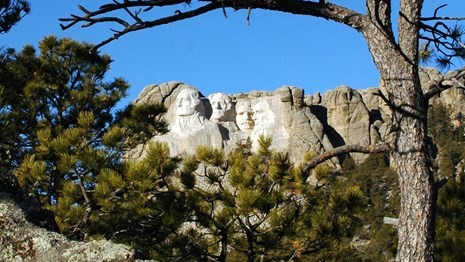
Caption: Mount Rushmore National Memorial
Source: Credit to National Park Services
| Project Name | Mount Rushmore Road Corridor | |
|---|---|---|
| Location | City of Rapid City, South Dakota | |
| Project Sponsor / Borrower | South Dakota Department of Transportation and Rapid City | |
| Program Areas | ||
| Value Capture Techniques | Private Contributions | |
| Mode | Road | |
| Description | Mount Rushmore Road, or 8th Street, is part of Highway 16 in Rapid City. It is the traditional route connecting Rapid City to Mt. Rushmore National Memorial. Combined with the Interstate 190 spur, this corridor leads travelers directly from Interstate 90 to the Black Hills region via Downtown Rapid City, and remains a key business and service district for both residents and tourists. Mt. Rushmore Road (US Highway 16) is the primary corridor to Mount Rushmore and is used by 30,000 vehicles daily. In 2007, the City began plans to make the road economically healthy, efficient, and aesthetically appealing. After completing a corridor study in 2009, the City designated $2 million for revitalizations that would include adding a median and removing on-street parking, among other changes. Approved in 2010 by the Planning Commission and Rapid City Council, the Mount Rushmore Road Corridor Development Plan presented a community-based program, initiated by the city and stakeholders, to re-imagine this important environment and consider its potential as an important asset well into the future. The properties covered under the plan included existing residential and commercial land uses. The plan also included a future land-use plan for the corridor and surrounding neighborhoods, and corridor improvements that provide adequate infrastructure to meet the expected future traffic and development demands. In addition, the plan included project elements to facilitate and encourage pedestrian and non-motorized travel within the corridor, and streetscape and landscape improvements within the corridor that would be thematically consistent with existing improvements in Rapid City’s central business district. This plan recommended reconstructing Mt. Rushmore Road from south to north, based on the South Dakota Department of Transportation’s (SDDOT) potential improvement schedule. The size and extent of each phase was to be determined by City and (SD-DOT) policy and budget constraints. With help from the (SD-DOT), the City selected Upper Plains Contracting to complete the projects and the first phase of construction began in 2014. The reconstruction was carried out in multiple phases: first phase of Mount Rushmore Road, from Tower Road to St. Patrick Street in 2014, and the second phase from St. Patrick Street to Kansas City Street in 2015. Improvements along the Mount Rushmore corridor improved transportation flow and safety for vehicle, bicycle, and pedestrian traffic. The City created a more desirable atmosphere for current businesses and prospective developments.
|
|
| Cost | $51.6 million (phase I $12M, phase II $9.6M, phase III $24M) |
|
| Funding Sources |
|
|
| Project Delivery / Contract Method | Design-bid-build | |
| Private Partner | Upper Plains Contracting | |
| Project Advisors / Consultants |
|
|
| Lenders | N/A | |
| Duration / Status |
The planning for improving the Mount Rushmore Road Corridor started in 2007, the first phase on construction was initiated in 2014, and the project was completed in 2018. |
|
| Financial Status/Financial Performance | ||
| Innovations |
|
|
| Related Links / Articles |
|
|
| Contact | Michelle Wheatley, Superintendent 605-574-3131 Sally Mayberry |
|
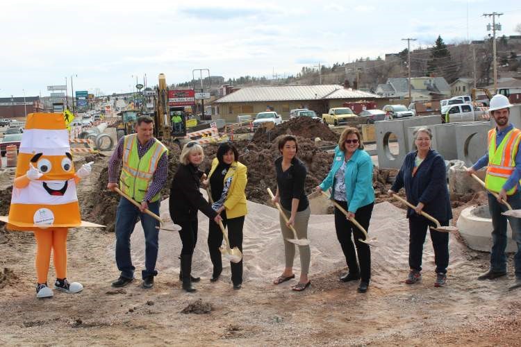
Caption: City officials, business owners, Chamber officials and residents gathered for the groundbreaking ceremony for the third and final phase of Mount Rushmore Road's reconstruction.
Source: Credit to City of Rapid City, South Dakota