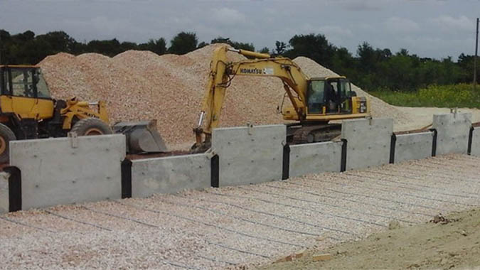
photo credit: Community Impact Newsletter
| Location | Austin, Texas |
|---|---|
| Project Sponsor / Borrower | Central Texas Regional Mobility Authority |
| Program Areas |
|
| Mode | Toll Highway |
| Description | SH 45SW is a four-lane toll road under development by the Central Texas Regional Mobility Authority between the southern end of MoPac Expressway (Loop 1) and FM 1626 southwest of Austin, Texas near the border of Travis and Hays Counties. The four-mile limited-access route will have four access and egress points. The project is expected to relieve growing congestion on local roads (Manchaca Road, Slaughter Lane, Brodie Lane) used by commuters to access MoPac Expressway and downtown Austin. An environmental study conducted by the Texas Department of Transportation in 2013 identified the SH 45SW corridor along state-owned right-of-way as the preferred solution to this problem. Early planning for a larger circumferential roadway that would have contained SH 45SW as one part began in the mid-1980s. A lawsuit filed after the release of the environmental review for the project resulted in a court decision specifying that only state funds could be used to build the facility. Accordingly, project financing is expected to include state funds and a loan from the Texas Mobility Fund and contributions from Travis and Hays Counties. No federal funding will be used. Drivers who use SH 45SW to access Austin's downtown core are expected to save 9 to 17 minutes over current travel times. Those who continue to use local roads for those same trips are expected to save 6 to 7 minutes. The project is expected to open in 2019. |
| Cost | $100 million (estimated) |
| Funding Sources | Total available for financing - $108.9 million
|
| Project Delivery / Contract Method | Design-bid-build |
| Private Partner | None |
| Project Advisors / Consultants | Rodriguez Transportation Group - Lead Designer |
| Lenders | TxDOT |
| Duration / Status | Final design has required an environmental reevaluation. Construction may start in late 2016 and is expected to take 2.5 years. |
| Financial Status | Financing will occur through the Texas Mobility Fund. |
| Innovations |
|
| Related Links / Articles | |
| Contacts | Central Texas Regional Mobility Authority |