| Caltrans Digital Products Catalog to support Building Information Modeling for Infrastructure (BIM410, IMPROVE Project Asset Lifecycle and facilitate Digital As-builts |
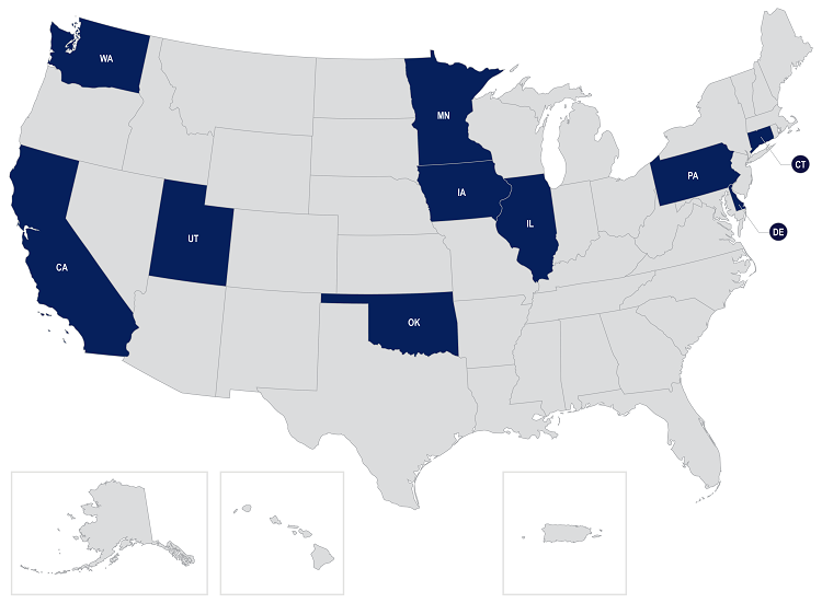
California |
Fully develop an existing prototype of a data viewer that will allow for combining data from planning, design, and construction, which will facilitate better data management and interoperability across various silos throughout the entire Caltrans project delivery cycle. Proposes using a system successfully developed and deployed by the United Kingdom National Highways Bureau as a model. |
$3,920,800 |
| Smart Communication and Reporting Solution (SCORS) add on functionality to CTDOT COMPASS System |
Connecticut |
Updating CTDOT's existing system COMPASS (a cloud-based, SharePoint project delivery and document management system) to add SCORS functionality. The project goal is to implement standardized COMPASS modules that provide digital smart communications around project delivery and eliminate PDF and paper use. |
$4,497,696 |
| Accelerating Digital Inspection Practices with Connected Machinery |
Delaware |
Proposes to integrate machinery data directly with contract and e-Ticketing driven material data. Material and machine data can be leveraged to begin automated work validation reporting, reducing time spent on low-value inspection activities at worksites, freeing up their time for higher-skilled work. |
$4,000,000 |
| IDOT Digital Delivery Implementation |
Illinois |
Proposes to establish a continuously operating reference system (CORS) network that will work with ongoing implementation of 3D modeling, LiDAR, and small UAS to increase automated machine guidance accuracy, reduce agency costs, and create myriad benefits to other state agencies and the public. |
$4,500,000 |
| Advancing Digital Delivery in Iowa and Beyond |
Iowa |
The project will create the standards, processes, and technology solutions to properly capture, share, and store digital as-built information for State-owned utilities, bridges, and pavement materials. |
$1,501,200 |
| Minnesota Nice Connects the DOT's Through the Construction Life Cycle |
Minnesota |
The NiceConnect project will accelerate the path for asset data interoperability by creating a data map of MnDOT asset data across the construction management system (CMS). |
$2,160,000 |
| Cultivating a Connected Environment through Digital Delivery |
Oklahoma |
Proposes to develop a Digital Delivery Strategic Plan, Project Implementation Plan, Change Management Plan, Communications Plan, and GIS integration plan. Proposes to implement Digital Delivery Design Guidance, Modeling Standards Manual, Software Training Manual and Technology Training, and ProjectWise. Will conduct a pilot project for data exchange between design and construction and procure equipment for construction inspection. Includes mock lettings to understand how contractors would access and use models. |
$3,079,440 |
| Advancing Standardized Open-Data As-Built Information Models for Bridges |
Pennsylvania |
Proposes to apply the use of an open data standard, eliminating the need for expensive proprietary technologies that make it difficult to exchange information between design and construction teams. Builds upon the efforts of the TPF-5(372) BIM for Bridges and Structures Transportation Pooled Fund (to develop the first open data standards for the digital exchange of 3D models for conventional workhorse bridges in the U.S. using the Industry Foundation Classes (IFC) standard). |
$3,910,000 |
| Advancing Digital Construction to Support UDOT's Digital Twin |
Utah |
The project will expand CMaps, a GIS based field data collection tool, piloting CMaps in 2+ 3D modeled construction projects in 2024-2025. The project will train design personnel to prepare files for the tool throughout preconstruction and train designers and project reviewers to use digital design review GIS tools, which are a precursor to using CMaps in construction. By expanding the GIS CMaps tool, UDOT can streamline inspection in the field and provide a predictable, stable, quantity-tracking tool while reducing and/or eliminating PDF plan sets. |
$5,000,000 |
| Using LiDAR with Imagery to Extract Roadway Data Elements |
Washington |
Proposes to create automated processes to extract: (1) MIRE FDE Intersection/Junction Traffic Control attributes from LiDAR; (2) ADA curb ramp location information; and (2) roadway signs from LiDAR and to use this data for the entire lifecycle of a sign. This will create a system that is usable in design, construction, maintenance, and asset management. |
$1,350,000 |
| Total |
|
|
$33,919,136 |