

Case Studies
Utilizing 3D Digital Design Data in Highway Construction - A Case Study (April, 2017) This research explores opportunities to refine processes for generating the 3D digital design data used in construction, identifies priorities for addressing data schema gaps, offers strategies for determining and controlling 3D data quality, and identifies project characteristics that lend themselves toward creating 3D digital design data for use in construction.
4D Modeling: A State Transportation Agency's Approach to Risk Management (March, 2017) This case study highlights how the Connecticut Department of Transportation (CTDOT) has successfully used a 4D modeling method for managing risk on the I-95 New Haven Harbor Crossing Corridor Improvement Program.
4D and 5D Modeling - NYSDOT's Approach to Optimizing Resources (August, 2016) This case study highlights the approach taken by the NYSDOT for establishing request for proposal requirements for the Kosciuszko Bridge project to incorporate 4D and 5D modeling for tracking the progress of activities and issuing payments during the construction phase.
The Oregon Coordinate Reference System: A Surveying Approach for Supporting Geospatial-Based Technologies in Transportation Applications (Summer 2016) This case study highlights the Oregon Department of Transportation's journey in setting the groundwork for better use of survey data for both engineering and geographic information system workflows, with a focus on the Oregon Coordinate Reference System implementation. It serves as a resource for understanding the geospatial foundation for 3D engineered model-based technologies.
As-Built Utility Surveys: A Tale of Two State Transportation Departments (May, 2016) Documenting the location and other important characteristics of newly installed utilities is an important component of right-of-way (ROW) management. This case study highlights a Comparison of New Programmatic Approaches in Virginia and Michigan to improving underground utility mapping to better support design, construction, and asset management.
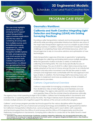
Geomatics Workflows (May, 2016) This Case Study highlights LiDAR technology as a surveying tool to support current transportation agency business applications and the true value of combining 3D survey data from multiple sources, such as traditional surveying equipment (i.e., robotic total stations, Global Navigation Satellite Systems or GNSS, photogrammetry, and LiDAR sensors) by the California and the North Carolina Departments of Transportation.
Schedule, Cost and Post-Construction Program Case Study (December, 2015) This Program Case Study highlights the transformation of the Utah Department of Transportation's asset management system through the development of an advanced, network- wide asset inventory and its integration with other GIS-based systems and Business Intelligence tools. It is offered as a general aid for those considering starting similar programs or enhancing existing ones. It provides just one example of how state transportation agencies might expand their use of 3D engineered models.